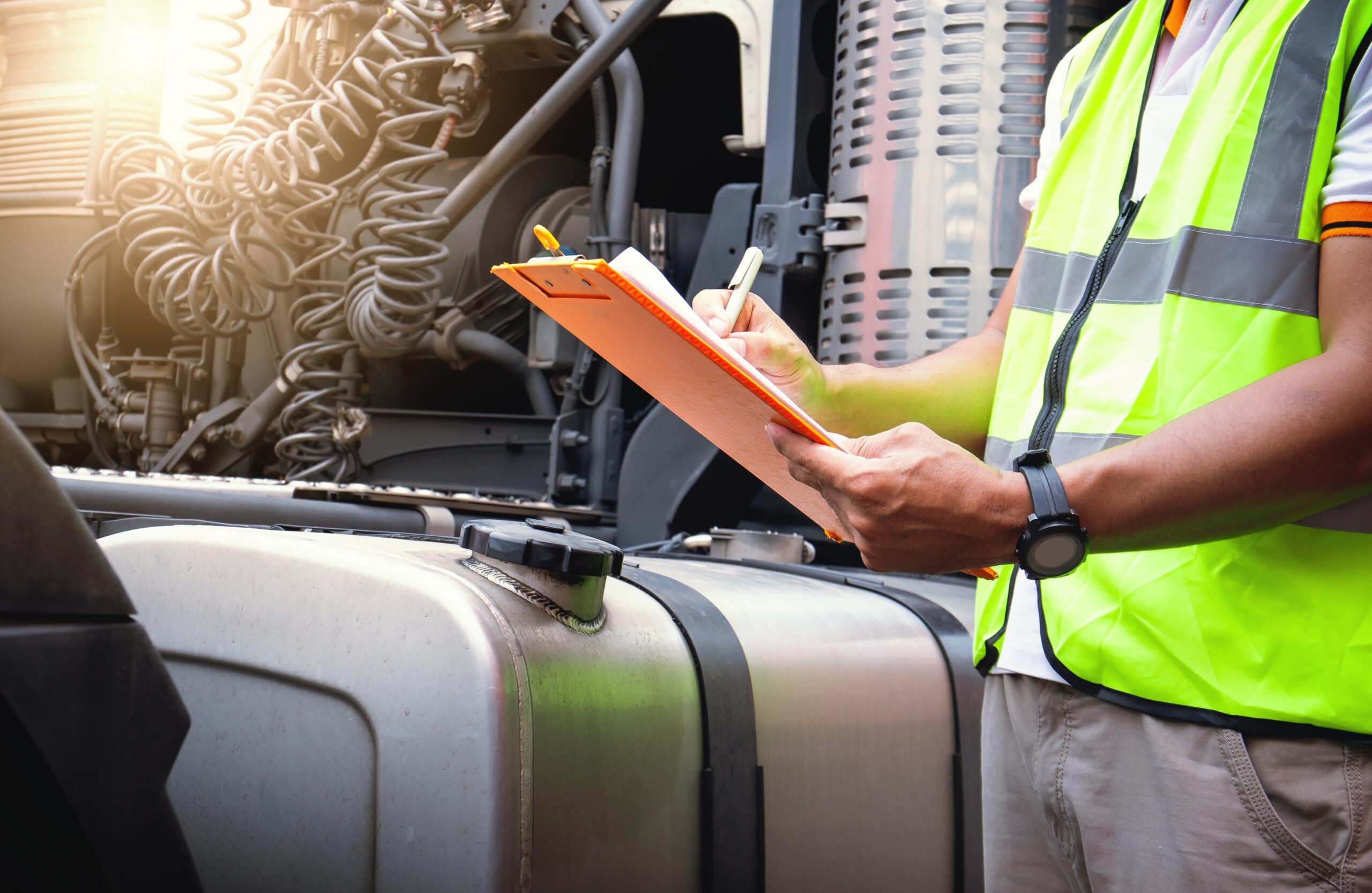
Vehicle fleet tracking helps businesses improve visibility using GPS and telematics to monitor operations in real-time. With geofencing, fleet managers can track activity across depots, delivery locations, and routes, making it easier to manage movement and reduce delays. As part of modern fleet management, these tools help teams respond faster and make better decisions. Learn more about how vehicle tracking, geofencing, and real-time insights are used across fleet operations.
KEY TAKEAWAYS
Vehicle fleet tracking helps businesses improve visibility using GPS and telematics to monitor operations in real-time. With geofencing, fleet managers can track activity across depots, delivery locations, and routes, making it easier to manage movement and reduce delays. As part of modern fleet management, these tools help teams respond faster and make better decisions. Learn more about how vehicle tracking, geofencing, and real-time insights are used across fleet operations.
What if you could know where every vehicle in your fleet is, in real-time, and even anticipate delays or inefficiencies before they happen?
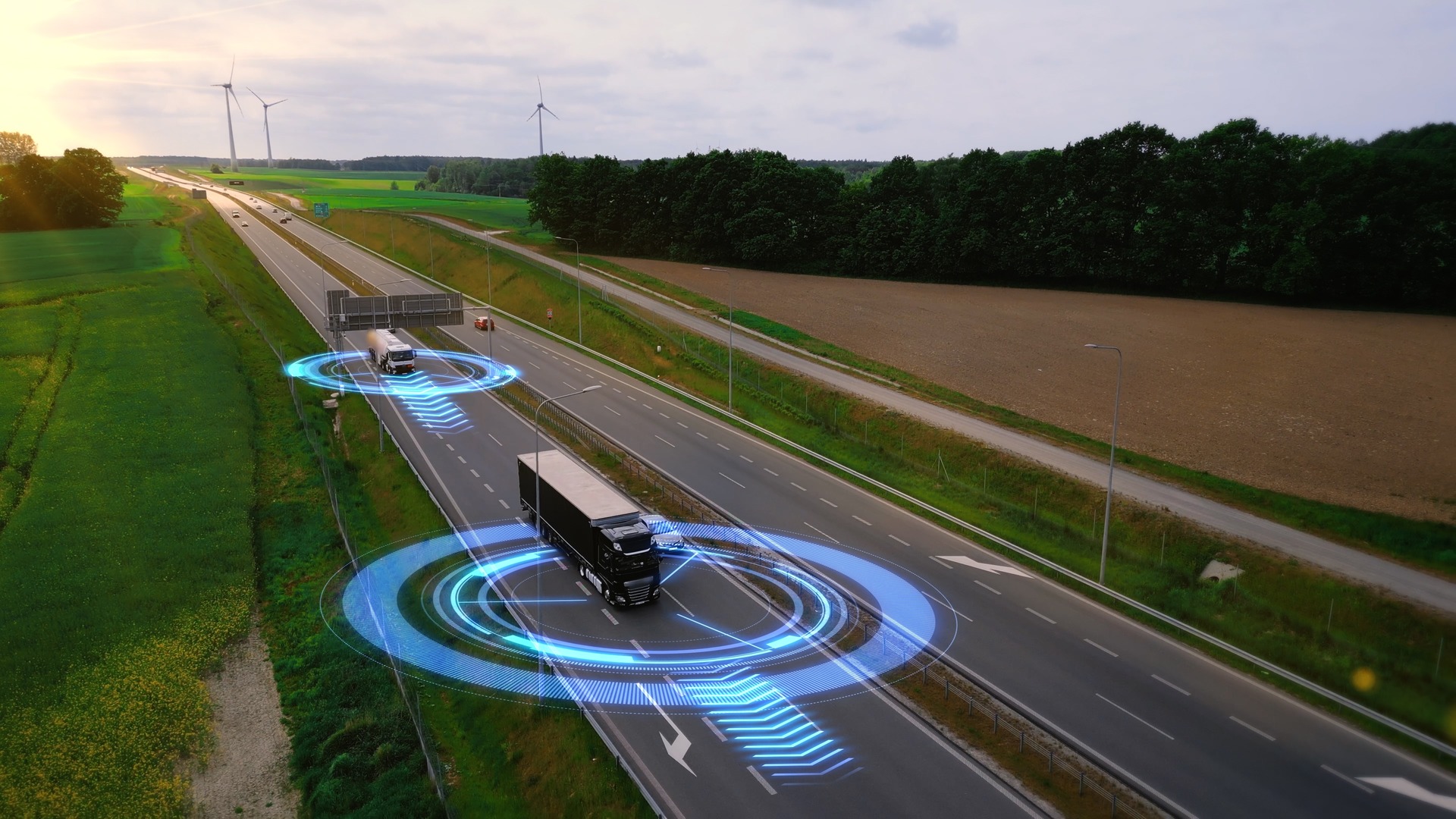
Advances in GPS technology and fleet telematics have made fleet tracking more accurate than ever, while cloud-based platforms like Intangles provide a simpler way to turn vehicle data into actionable insights. The result is real-time vehicle location tracking—an essential tool to help you monitor your fleet and improve operations.
If you’re a fleet manager, a vehicle tracking solution can be a powerful way to know where every vehicle is in real time, even if you’re miles away. Beyond location, it helps reduce fuel costs, optimize routes, improve driver safety, and increases visibility into assets like trucks and heavy equipment.
Today, around 86% of fleets use GPS telematics software to track vehicle location and operations, showing how real-time tracking has become a standard in modern fleet management.
Read on to learn how vehicle location tracking works, the role of geofencing, and how AI is transforming fleet management in 2026.
What is vehicle location tracking for fleets?
Simply put, vehicle location tracking for fleets is the process of continuously monitoring your vehicles to know where they are, how they move, and what they’re doing.
It’s more than just GPS coordinates on a map. Modern fleets rely on real-time location data combined with telematics—capturing engine health, fuel usage, driver behavior, and more. This makes it possible not only to track vehicles, but also to understand patterns and make smarter operational decisions.
Most fleet managers start with basic GPS tracking, but the real advantage comes when that data is analyzed and acted upon. With insights from a vehicle tracking system for fleet operations, you can optimize routes, prevent breakdowns, reduce fuel waste, and improve driver performance.
The global fleet management market is now valued at over $32billion in 2026, with about 63% of fleets using GPS tracking as a core operational tool—showing that vehicle tracking is no longer optional but mainstream.
How does vehicle location tracking work?
Modern fleet tracking is a combination of hardware, software, and analytics that transforms raw location data into actionable intelligence.
Here’s a simplified 5-step process:
- On-vehicle telematics hardware: GPS-enabled devices installed in vehicles automatically capture location, speed, engine diagnostics, idle time, and other sensor readings.
- Data transmission: Devices transmit data securely via cellular or satellite networks to centralized cloud servers at regular intervals.
- Cloud processing and storage: Raw telemetry is processed, mapped, and stored for real-time dashboards and historical analysis. A vehicle showing early signs of engine trouble can be flagged before it breaks down.
- Real-time monitoring and alerts: Fleet managers use intuitive dashboards and mobile apps to track locations, monitor driver behavior, and receive automated alerts for off-route travel, excessive idling, or unauthorized movement.
- Reporting and analytics: Historical and real-time data support decisions around routing, driver performance, compliance, and predictive maintenance.
Modern tracking doesn’t just tell you where vehicles are—it informs when a vehicle may need service, when a driver is at risk, and how routes can be optimized. Platforms like Intangles integrate location, telematics, and AI to make tracking predictive, not reactive.

Geofencing for fleet management
Most fleets already know where their vehicles are. The bigger problem is knowing whether they’re where they’re supposed to be. That’s where geofencing starts to matter.
In simple terms, geofencing is a virtual boundary created around a real-world location. When a vehicle enters or exits that area, the system records it or triggers an alert. It sounds simple, but in day-to-day operations, this is what replaces constant calls, manual updates, and guesswork.
For many fleets, this is the point where tracking becomes useful. You’re no longer just looking at a map—you’re starting to understand movement in context.
How does geofencing work?
Geofencing runs in the background alongside your GPS tracking system.
You define a location—a depot, a customer site, a route—and the system keeps checking vehicle movement against it. When something changes, like a vehicle entering late or leaving too early, you get notified.
What this looks like practice is pretty straightforward. A vehicle reaches a delivery point, and the system logs the arrival automatically. No calls, no manual updates. If a truck takes a different route or stops somewhere unexpected, that shows up instantly.
When this is connected with a broader vehicle tracking system for fleet operations, it becomes more useful. Instead of just knowing what happened, you start understanding why it happened.
This is where platforms like Intangles fit in. Geofencing data gets layered with fuel usage, driver behavior, and vehicle performance, so a delay is not just a delay—you can see if it was caused by idling, route deviation, or something else.
Types of geofencing
There’s no single way to set up geofencing. It usually depends on how your fleet operates.
Most teams start simple. A circular geofence around a depot or delivery point is enough to track arrivals and departures. As operations get more complex, polygon geofences are used for larger or irregular areas like yards or warehouses.
Route-based geofences come into play when route discipline becomes important. These help track whether vehicles are sticking to assigned paths or taking unnecessary detours. Some fleets also use time-based geofences, especially when operations are tied to shifts. For example, if a vehicle moves outside a zone after working hours, it gets flagged.
| Type of Geofence | Description |
| Circular Geofence | Simple radius around a point (e.g., depot area) |
| Polygon Geofence | Multi-segment zones for complex shapes (e.g., airport grounds) |
| Route Corridor | Alerts when vehicles deviate from defined routes |
| Time-based Geofence | Zones that only apply alerts during certain hours (e.g., night access) |
In reality, most fleets end up using a mix of these. The setups evolve as operations grow and gaps become clearer.
Geofencing use cases for fleet operations
This is where geofencing starts showing actual value.
A common example is deliveries. Instead of checking with drivers, the system logs when a vehicle reaches a location and when it leaves. Over time, this builds a more accurate picture of delays, wait times, and route efficiency.
Another area is route adherence. If vehicles are expected to follow a specific path, any deviation becomes visible immediately. This is useful not just for control, but also for identifying where routes themselves might need adjustment.
Security is another big one. Vehicles moving outside defined zones or during off-hours get flagged instantly. For fleets dealing with high-value cargo or sensitive operations, this alone can justify the setup.
There’s also a lot of value in understanding time spent at locations. Vehicles that consistently spend too long at certain points usually indicate bottlenecks—loading delays, traffic patterns, or coordination issues.
When this data is combined with analytics, like in Intangles, it becomes easier to connect these patterns with fuel usage, delays, and overall performance. That’s where geofencing moves from just alerts to actual operational insight.
Geofencing setup best practices
Most issues with geofencing don’t come from the technology but they come from how it’s set up.
A common mistake is drawing boundaries that don’t match real-world conditions. If a geofence is too tight, you start getting false alerts. Too loose, and it stops being useful. It usually takes a bit of adjustment based on actual movement.
Another thing fleets run into is too many alerts. When everything is flagged, nothing stands out. The better approach is to focus only on events that need action—route deviations, long stops, or unusual movement.
It also helps to start small. Instead of typing to map everything at once, begin with key locations—depots, high frequency delivery points, and critical routes. Then expand based on what you learn.
As operations scale, geofencing should evolve too. What works for a small fleet often doesn’t work at scale, especially when routes, drivers, and locations increase.
With platforms like Intangles, this becomes easier to manage because geofencing is not isolated. It’s connected with the rest of the data—vehicle health, fuel patterns, driver behavior—so instead of reacting to alerts, teams can start prioritizing what actually impacts operations.
Real-time tracking vs. passive tracking: which does your fleet need?
Most fleets don’t start by choosing between real-time and passive tracking. They usually start with a simple need—”we just need to know where our vehicles are.”
What is real-time (active) tracking?
Real-time vehicle tracking continuously sends location and telematics data at short intervals—usually every few seconds or minutes.
In practice, this means you can open a dashboard and see exactly where your vehicles are right now. If something changes—a delay, a route deviation, unexpected idle time—you see it immediately.
For fleets handling deliveries, field operations, or time-sensitive routes, this kind of visibility becomes important very quickly. It allows teams to adjust routes, update customers, and respond before small issues turn into bigger ones.
This is typically how platforms like Intangles are used. Real-time data is combined with fuel usage, driver behavior, and vehicle health, so it’s not just about location—it’s about making decisions while operations are still in motion.
Pros:
- Immediate visibility into vehicle location and activity
- Supports dynamic dispatching and accurate ETAs
- Helps detect delays, inefficiencies, and risks early
Cons:
- Requires consistent connectivity
- Slightly higher data usage compared to passive systems
What is passive tracking?
Passive tracking works differently. Instead of sending data continuously, it stores information locally on the device and uploads it later—usually when the vehicle returns to a depot or connects to a network.
This means you still get location history, trip data, and reports, but only after the trip is complete.
For fleets that don’t need real-time updates and are mainly focused on reporting or compliance, this can be enough. But it also means there’s no way to act on issues while they’re happening.
You only see what went wrong after the fact.
Pros:
- Lower data usage and simpler setup
- Useful for basic reporting and historical analysis
Cons:
- No live location visibility
- No real-time alerts or intervention
- Limited control over ongoing operations
Real-time vs passive tracking: what actually changes?
| Feature | Real-time Tracking | Passive Tracking |
| Data frequency | Seconds to minutes | Uploaded in batches |
| Live location | Present | Not present |
| Alerts and notifications | Present | Not present |
| Best use case | Deliveries, dynamic routing, field ips | Reporting, audits |
| Cost | Higher | Lower |
Which one should you choose?
For most commercial fleets today, passive tracking usually becomes limiting pretty quickly.
Once you start dealing with delivery timelines, fuel costs, driver performance, or customer expectations, not having real-time visibility creates gaps. You end up reacting late, or relying on manual updates again.
That’s why most growing fleets move towards real-time fleet tracking. Not just to see vehicles, but to manage operations as they happen.
With platforms like Intangles, this goes a step further. Real-time tracking is combined with analytics and AI, so instead of just reacting to alerts, teams can start predicting delays, reducing fuel waste, and improving overall efficiency.
How vehicle location tracking fits into AI-driven fleet management
Most fleets already have access to location data. The challenge is not visibility anymore—it’s what you do with that data. That’s where AI starts to change things.
Instead of reacting to delays, route deviations, or breakdowns after they happen, fleets can start predicting and acting earlier. Arrival times become more accurate because they’re based on actual traffic and route patterns. Unexpected stops or off-route movement get flagged instantly. Dispatch decisions can adjust in real time instead of waiting for updates.
Over time, this shifts how operations run. Maintenance stops being schedule-based and starts becoming need-based. Routes improve based on actual performance, not assumptions. Even for electric fleets, battery usage and routing can be optimized more effectively.
This is how solutions from Intangles are being used today. By combining GPS, telematics, and AI, fleets move beyond tracking into predictive, insight-driven operations. Instead of just seeing where vehicles are, teams can start understanding what’s likely to happen next—and plan accordingly.
Benefits of vehicle location tracking
Tracking alone solves one problem—visibility. But when it’s combined with geofencing and AI, the impact starts to show across daily operations.
For most fleets, this doesn’t happen overnight. It usually starts with one improvement—fuel, routing, or driver monitoring—and gradually expands. At a practical level, this is where the benefits show up:
Lower operating costs tend to be the first visible change. Fuel usage becomes more predictable, idle time reduces, and unnecessary trips get cut down. Many fleets using telematics report noticeable fuel savings over time.
Operational efficiency improves once there’s clarity on what’s actually happening on the ground. Routes become easier to plan, delays are easier to spot, and there’s less back-and-forth between teams.
Reliability also improves. Instead of waiting for breakdowns, vehicles can be serviced earlier based on real usage patterns. This keeps more vehicles on the road and reduces unexpected downtime.
Driver safety becomes easier to manage when behavior is visible. Patterns like harsh braking, overspeeding, or long idle times can be identified and corrected gradually.
There’s also better control over fuel and assets. Irregular usage stands out more clearly, and fleets can start identifying underutilized or overused vehicles.
None of these changes are dramatic on their own. But together, they start changing how fleets operate on a daily basis. You can also see this shift at a broader level. In India, the Ministry of Road Transport and Highways is mandating GPS tracking devices on haulage tractors starting October 2026. This reflects how quickly real-time visibility is becoming a requirement, not just an advantage.
Most fleets don’t struggle with a lack of data anymore. The real gap is in connecting that data and actually using it consistently.
Intangles’ platform instead of relying on separate tools for tracking, fuel monitoring, driver behavior, and maintenance, everything comes together in one place. Location data is no longer isolated—it’s connected with performance, efficiency, and predictive insights.
In practice, this means less manual coordination, faster response to issues, and a clearer understanding of what’s happening across the fleet. Over time, operations become more reliable and easier to manage.
If you want to move beyond basic tracking and start using data to improve operations, take a closer look at the Intangles vehicle tracking solution or speak with our team today.
KNOW MORE
Frequently Asked Questions
What is vehicle location tracking for fleets?
Vehicle location tracking for fleets is the process of using GPS and telematics to monitor where vehicles are, how they are being driven, and how they perform in real-time. It helps fleet managers improve visibility, optimize routes, and reduce fuel costs using platforms like Intangles’ fleet management system. Learn more in our step-by-step guide.
How do geofences work in fleet management?
Geofences work by creating virtual boundaries around locations like depots, delivery points, or routes. When a vehicle enters or exits these areas, the system records the event or triggers alerts, helping improve coordination and control. With Intangles’ geofencing capabilities, the fleet can automate updates and monitor movement more effectively. Explore our geofencing solutions to learn more.
What is the difference between vehicle tracking and geofencing?
Vehicle tracking focuses on real-time location and movement, while geofencing defines where vehicles should be and tracks activity within those boundaries. Together, they help ensure operations stay aligned with plans. Intangles’ vehicle tracking solutions combine both to give better visibility and control across fleet operations.
How is AI used with fleet location data?
AI uses fleet location data to identify patterns, predict delays, detect anomalies, and optimize routes. This helps fleet managers move from reactive tracking to proactive decision-making. With Intangles’ AI-driven analytics, fleets can turn tracking data into actionable insights that improve efficiency and performance. Learn more about our AI-powered technology.
Can I track vehicles inside a warehouse or yard?
Yes, vehicles can be tracked inside warehouses or yards using GPS along with Wi-Fi or RFID-based systems, depending on the environment. This helps improve asset utilization and reduce idle time. Intangles’ tracking technology supports better visibility even in confined operational areas. Explore our tracking solutions for more details.
How does AI improve vehicle location tracking?
AI improves vehicle location tracking by turning raw data into actionable insights, such as predictive maintenance needs, identifying inefficient routes, and detecting unusual behavior. With Intangles’ predictive analytics, fleet managers can act earlier, reduce costs, and improve overall operations. Learn more about how AI-driven fleet management works.

We’re looking forward to meeting you