KEY TAKEAWAYS
- A geofence is a virtual boundary around a real-world location such as a depot, customer site, fuel station, or restricted zone.
- When a vehicle crosses the boundary, the system triggers an instant alert for entry, exit, dwell time, or after-hours movement.
- Fleet geofencing uses GPS/NavIC coordinates updated every 10 seconds for near real-time boundary detection.
- AIS-140 certified devices used across Indian commercial fleets already support geofencing without requiring additional hardware.
- Modern fleet geofencing supports compliance logs, ETA notifications, theft prevention, maintenance workflows, and operational monitoring, not just location tracking.
- Intangles geofencing connects location events directly with predictive maintenance workflows and vehicle health intelligence.
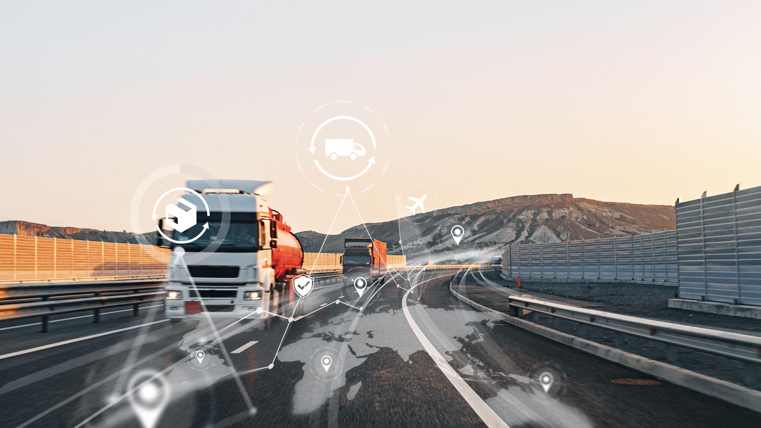
A truck departs the depot at 11:42pm. The fleet manager receives an alert in a matter of seconds that includes vehicle data, departure time, and route direction. No driver call. No manual tracking. No waiting until the next morning to discover unauthorized movement.
Geofencing is useful in fleet operations. Real-time location data is essential for managing operations, especially as commercial fleets cope with increasingly demanding delivery schedules, rising fuel costs, and a growing need to boost uptime.
A geofence is a virtual border created with GPS information around a physical site. In fleet management, geofencing monitors certain limits in real-time using GPS and telematics data, sending out an alert as soon as a car enters, leaves, or stays inside a designated area. Geofencing and the AIS-140 compliance criteria implemented by MoRTH are closely related for Indian commercial fleets.
This blog explains how geofencing operates, how fleets utilize it, how accurate it is, and what operators need to know before putting it into practice.
What is a geofence?
A geofence is a virtual barrier made with GPS coordinates and mapping technology around a physical area. The technique of tracking movement across a digital zone and initiating automated actions when certain conditions are met is referred to as geofencing, whereas the term “geofence” refers to the actual digital zone itself.
Imagine it as a digital map with an invisible fence. Although the fleet platform constantly determines whether a vehicle is inside or outside the designated region, vehicles are unable to physically perceive the barrier.
Depending on operational needs, geofence zones can be designed in a variety of ways. While some fleets build polygon limits around mines, ports, industrial facilities, or warehouse campuses with uneven layouts, others employ small circular zones around parking lots or gas stations.
Geofences are frequently positioned around depots, client delivery sites, fuel stations, toll lanes, repair facilities, state borders, and restricted operation zones in fleet management.
Geofencing can be thought of as an intelligent layer that is added to vehicle position tracking. Geofencing specifies what should happen when the vehicle reaches a particular spot, whereas GPS tracking technology indicates the car’s location.

How does geofencing work? The technology behind it
Step 01: The vehicle coordinates are recorded by the GPS/NavIC device
Each tracked vehicle is equipped with a telematics device that uses GPS or NavIC to continuously record its location and movement. Since the rule mandates approved vehicle tracking systems across many transport categories, many commercial fleets in India currently employ AIS-140 certified tracking devices. Latitude, longitude, speed, ignition status, and movement data are all continuously recorded by these devices, which often update location coordinates every ten seconds.
Step 02: The fleet platform receives the coordinates
The fleet management platform receives the location data via 4G or cellular connectivity. When network coverage is stable, modern fleet tracking systems can continuously broadcast fleet data in real time. The device helps fleets avoid visibility gaps in low-signal locations by temporarily storing data locally and automatically uploading buffered records once connectivity is restored.
Step 03: The platform compares the position against your geofence rules
The geofence logic works here. The program uses an if-this-then-that workflow to continuously compare incoming coordinates against pre-established geofence criteria.
Most fleets configure three core trigger types:
- Entry alerts
- Exit alerts
- Dwell time monitoring
For instance, the platform instantly sends the operations team a push message if a truck leaves a depot after 10pm. When a car stays at a client site longer than the allowed unloading window, another rule might come into effect.
Basic GPS tracking is converted into useful fleet intelligence by this rule-based reasoning.
Step 04: The alert or automated action fires
Once the rule condition is met, the system activates the configured response. Reflected in global trends as of 2026, active geofencing has become the dominant technology type, making up over 51% of the market because it allows managers to intervene while a deviation is happening, not hours later. A geofence alert may appear as a push notification, SMS, email, dashboard alert, compliance log entry, or automated work order.
Modern platforms execute these actions in near real time. Intangles’ location intelligence layer refreshes location data every 10 seconds and detects most boundary events in under 60 seconds, allowing operations teams to respond quickly to unauthorized movement, route deviations, or compliance exceptions.
Related article: Vehicle location tracking for fleets
Geofence zone types in fleet management
Depending on the operational goal, physical layout, and route structure, fleet operations employ many types of geofence zones.
Circular geofence
A fixed point on the map is surrounded by a radius-based zone created by a circular geofence. Fuel stations, parking lots, warehouses, and client delivery locations—where the working area is small and predictable—are frequently used by fleets.
Polygon geofence
Operators can create irregular borders that correspond to the real form of a facility or operating region by using a polygon geofence. Large warehouses, ports, mines, industrial campuses, logistics parks, and other locations where a basic radius would result in erroneous alarms are the appropriate places for this.
Route corridor geofence
Rather than following a single place, a route corridor geofence follows a predetermined road pattern. Fleets use this when vehicles must stay on approved highways, toll routes, hazardous cargo corridors, or compliance-approved transport paths.
Time-based geofence
A time-based geofence adds operating-hour conditions to any geofence type. For instance, a depot might permit regular operations from 6 a.m. to 10 p.m., but any vehicle movement outside of those times sets off an automated alert. Time-based geofencing is frequently used by fleets for theft prevention, contractor mobility management, and after-hours monitoring.
The effectiveness of geofencing depends less on the software itself and more on how accurately the geofence structure reflects real-world operations.
How accurate is geofencing? What fleet managers should expect
Fleet geofencing using AIS-140 certified GPD/NavIC devices typically achieves positional accuracy of under 10 metres in open operating conditions.
That level of accuracy is usually sufficient for depot monitoring, route compliance, customer arrival alerts, fuel station tracking, and operational visibility. However, actual geofencing accuracy depends on three major factors.
- GPS signal strength
Dense urban environments, tunnels, and underground parking, and industrial corridors can temporarily reduce positioning accuracy. In these worst-case conditions, position variance may increase to around 15-30 metres. - Update frequency
If a telematics device transmits coordinates every 30 or 60 seconds instead of every 10 seconds, the platform may detect boundary crossings with a slight delay. - Geofence size
Extremely small geofence zones often create false alerts near loading bays, perimeter roads, or facility gates where vehicles naturally move in and out during normal operations.
For Indian fleets, the combination of NavIC and GPS positioning inside many AIS-140 certified devices improves consistency across dense transport corridors and high-traffic logistics environments compared to GPS-only systems.
A practical rule followed by many operators is to create the geofence boundary around 50-100 metres larger than the physical site. That buffer helps reduce false alerts while maintaining operational visibility.
Intangles’ location engine updates vehicle coordinates every 10 seconds, enabling near real-time entry and exit detection across most fleet operations.

6 ways fleet managers use geofencing
01. After-hours vehicle monitoring
Many fleets set up geofence boundaries around depots when the working day ends to detect any unauthorized activities in the late hours of the night. A few logistics companies saw a 74% reduction in unauthorized vehicle use in the first month of detecting suspect activity in real-time, rather than waiting until the next morning. This is a particularly useful tool for critical freight routes and nighttime logistical operations within Delhi NCR.
02. Customer site arrival and departure confirmation
A geofence around a customer’s location captures arrival and departure timestamps. This eliminates the need for drivers to check in manually. It improves proof of delivery accuracy, ensures SLA compliance, and enables automated ETA notifications. Many fleets also see fewer inbound consumer inquiry calls after they activate real-time status updates.
03. Restricted zone and route compliance
Fleets use restricted zone geofences around school zones, areas with vehicle restrictions, state-border checkpoints, low-clearance bridges, and hazardous cargo routes to monitor whether vehicles enter forbidden areas or stray from approved paths. If a truck enters a no-go zone, the system immediately flags that exception. These geofences help fleets near school zones, state-border checkpoints, and other restricted areas.
04. Fuel station and depot management
Many fleets create a geofence around licensed fueling stations to prevent misuse and unauthorized transactions. When combined with fuel analytics, operators can compare fueling activities with authorized stops, route behavior, and fuel consumption patterns. A depot geofence arrangement also assists with dispatch coordination, vehicle turnaround visibility, and loading yard movement control.
05. Asset theft prevention and recovery
Most commercial vehicle theft incidents occur during overnight idle periods between 10pm and 4am. A vehicle theft alert GPS workflow creates an immediate response window the moment the vehicle leaves a protected geofence zone. For fleets operating in high-risk cargo corridors across India, fleet theft geofencing adds an additional operational security layer before the vehicle moves far from the area.
06. Predictive maintenance zone triggers
This is where geofencing becomes operationally smarter than basic tracking. A fleet maintenance geofence can automatically trigger service workflows when a vehicle enters a depot or workshop location. Intangles connects geofencing predictive maintenance directly with vehicle health analytics, allowing overdue inspections, fault risks, and maintenance alerts to appear automatically once the vehicle reaches the depot.
Geofencing and AIS-140 compliance in India
For Indian fleet operators, AIS-140 geofencing is no longer just a convenience feature. In many commercial transport segments, it has become part of the operational infrastructure tied to compliance, route visibility, and fleet accountability.
AIS-140 is the vehicle tracking standard introduced under the Ministry of Road Transport and Highways (MoRTH) for public transport vehicles and several commercial vehicle categories. The regulation requires certified vehicle tracking devices capable of transmitting location information through approved communication standards.
Because AIS-140 certified devices already include GPS and NavIC-based positioning, many fleets can activate geofencing workflows without installing additional hardware. This significantly lowers implementation complexity for operators evaluating geofencing for the first time.
The system becomes especially useful for fleets managing interstate logistics movement, school transportation, hazardous cargo operations, employee transport fleets, and public transport vehicles. Geofence workflows can automatically log depot entry records, route deviations, restricted-zone movement, and corridor-level operating activity.
The combination of NavIC and GPS positioning also improves consistency across dense Indian transport corridors where GPS-only systems may experience temporary signal variation. Some operators are additionally connecting geofence workflows into compliance documentation and Vahan 4.0-related reporting processes.
Instead of treating compliance and operations separately, many fleets now use gefencing to combine both into a single location intelligence workflow.
You may also like: AIS 140 GPS tracking for commercial vehicles: complete 2026 compliance guide
How to set up geofencing for your fleet: step-by-step
Many fleet operators assume geofence setup requires complicated infrastructure or custom implementation work. In practice, modern fleet management platforms can usually configure operational geofences within minutes.
Here is practical setup process most fleets follow:
Step 01: Identify the locations you want to monitor
Most fleets begin with depots, customer delivery sites, fuel stations, toll corridors, parking yards, maintenance facilities, and restricted operating zones.
Step 02: Open the geofencing module inside the fleet platform
Modern fleet management systems typically include map-based geofencing tools that allow operators to configure zones directly from the dashboard.
Step 03: Draw the geofence boundary
Use circular boundaries for compact sites such as fuel stations or warehouses. Polygon geofences work better for irregular facilities, industrial areas, mines, ports, or large logistics parks.
Step 04: Configure the trigger rules
Most fleets activate entry alerts, exit alerts, after-hours movement alerts, or dwell-time thresholds depending on the operational requirement.
Step 05: Assign vehicles and test before full rollout
Instead of deploying geofencing fleet-wise immediately, operators usually test with one or two vehicles for 48 hours first. This helps identify false triggers, timing adjustments, or boundary refinements before scaling across the fleet.
Intangles geofencing is configured directly inside the dashboard and works with AIS-140 certified hardware already installed across many fleets. No separate hardware or additional infrastructure is required.
Common geofencing mistakes and how to avoid them
Even strong fleet platforms can produce poor results if the geofence strategy itself is poorly configured. Most geofencing problems come from setup decisions rather than software limitations.
Creating zones that are too small
A geofence zone that is too small can create repeated false alerts when vehicles move near gates, loading bays, or perimeter roads. Expanding the digital boundary slightly beyond the physical site usually improves stability immediately.
Triggering alerts for every movement
Poorly configured notifications create geofence alert fatigue, especially when operations teams receive alerts that do not require action. The better approach is to reserve alerts for operationally meaningful events such as after-hours exists, route deviations, or excessive dwell time.
Ignoring update frequency limitations
Many geofencing accuracy problems come from low-frequency coordinate updates rather than inaccurate GPS hardware. Fleets should verify how often their telematics device refreshes location data before configuring high-sensitivity workflows.
Deploying fleet-wide without testing
Rolling out every geofence simultaneously makes troubleshooting difficult. Testing zones with a smaller vehicle group first helps operators refine trigger logic and operational rules before full deployment.
Fleet visibility today goes far beyond basic GPS tracking. Fleet operators increasingly need location intelligence systems that support compliance monitoring, automate workflows, improve ETA communication, and connect movement data with vehicle performance.
This is where modern fleet geofencing software becomes more valuable than standalone tracking systems. Intangles treats geofencing as part of a larger operational intelligence layer rather than an isolated feature. The platform works with AIS-140 certified hardware already installed across many Indian fleets, allowing operators to activate geofencing workflows without replacing existing infrastructure.
More importantly, Intangles connects location events directly with predictive maintenance intelligence. When a vehicle enters a depot geofence, the platform can automatically flag overdue inspections, developing fault conditions, or maintenance risks before the next dispatch cycle begins.
Setup typically takes under 15 minutes per zone, and most fleets can begin using geofencing with existing hardware already installed on the vehicle.
Explore how Intangles’ location tracking solutions can help improve fleet performance and speak with our team today.
KNOW MORE
Frequently Asked Questions
What is a geofence?
A geofence is a virtual boundary created around a real-world location using GPS or NavIC coordinates. Fleets use geofences around depots, customer sites, fuel stations, and restricted zones to monitor vehicle movement automatically.
How does geofencing work in fleet management?
Geofencing uses GPS tracking and telematics data to monitor whether a vehicle enters or exits a predefined zone. When the vehicle crosses the boundary, the system triggers an instant alerts, notification, or automated workflow.
What is a geofencing tracker?
A geofencing tracker is a GPS or NavIC-enabled tracking device installed in a vehicle to monitor its location in real time. The device sends coordinates to the fleet platform so geofence alerts and tracking workflows can function continuously.
Is geofencing mandatory for commercial vehicles in India?
Geofencing itself is not mandatory for every commercial vehicle category, but many Indian fleets already use geofencing through AIS-140 certified tracking devices required under transport regulations.
How do I set up geofencing for my fleet?
To set up geofencing, fleets create digital boundaries around locations such as depots, customer sites, or fuel stations inside the fleet management platform. Operators then configure rules for entry alerts, exit alerts, after-hours movement, or dwell-time monitoring.






We’re looking forward to meeting you